Blogs
Victoria: The touring bicyclist's theme park
Ferry Mixups - On Vancouver Island
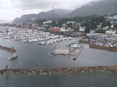
Well, we got to Prince Rupert and got ready to take the ferry down to Port Hardy (at the top of Vancouver Island). The main reason for going the Prince Rupert way was so that we could take this beautiful ferry, which goes through the Inside Passage and is supposed to be wonderful.
Unfortunately, I had not really done my homework, and there was no room for us at the inn. We had not made reservations, and it's running completely full due to the tragic sinking of the ferry earlier this year. Well, now we know to call in advance and check it out.
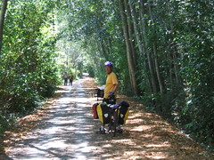
We're having a pleasant time on Vancouver Island - last night was on Sointula, on Malcolm Island, just offshore. We visited Alert Bay, too, and it's definitely a place to go back to!
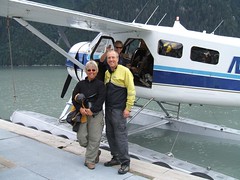
Boarding the Hyder, Alaska Mailplane to Ketchikan
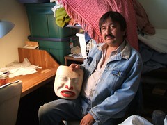
Ed Frank, mask carver
We saw the Northern Lights!
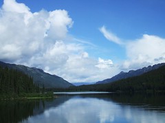
One night we were camped right on the beach at the south end of Dease Lake, which is a long north-to-south lake. When we got up to pee in the night, lo and behold the stars were in the sky, but the whole north part of the sky was lit up with something else. It wasn't residual sunlight - it was all kinds of other colors and flavors. We couldn't believe it. Sorry - it wasn't bright enough for a photo!
Ketchikan, Alaska
Cassiar Highway and Beyond, way beyond.
[Note that NEW PHOTOS are posted on the Photos page...]
I can not even remember how long it was since we started our ride south on the Cassiar Highway, since the bugs ate me alive at the Junction of 37 and the Alaskan Highway.
Was it a week ago we started, or was it two or three ago. I can not even remember what day today is. It is not that I have a memory problem or any more then usual. It is just days and nights run into each other and all the markers that keep track of the day are left behind when we travel each day to a new place.
There is a common thread that keeps it all together. Bugs, bugs and more bugs. There is now reason for this many bugs. I am currently trying to recover from a bite that got me a week ago in the eyelid, swelled it up so bad I look like I just got out of the boxing ring. The rain was something that dampened out spirit and has been a thread of commonality. Currently we are in Ketchikan, Alaska hiding out at Alltec Computer store updating our website which is really avoidance from going out and getting wetter then wet. It seems we really are wimps but we are working on getting ready for the West Coast ride down the USA through Oregon. Also another common thread is the amazing wonderful people we meet that share so much with us. Wow! People are really wonderful. Thank you all for your gifts of generosity.
The Cassiar Highway was great in most parts and really bad in others. Most of it is a grade A bike touring road and about 15 percent is really bad. read more here... lee mas aquí... »
Touring Cyclists' Report on the Cassiar Highway
- The Cassiar is a cyclist's delight, even though we had a fairly rough time with it. The traffic is light, the road is generally good, and the services are more frequent than we expected.
- The road is mostly paved (about 90%) and not too difficult. There are plenty of hills, but no huge passes. The 10% that is not paved can be fairly difficult (it was all mud for us, and we hate mud). But it's not really all that bad. They expect to finish all the paving in the next couple of years.
- We found groceries at several places we didn't necessarily expect them. The stores at Good Hope Lake, Dease Lake, Iskut, and Stewart all had groceries. All of those except Good Hope Lake had excellent variety. However, there was nothing at Meziadin Junction. The kind woman at Moose Meadows (north of Dease River Crossing, which is north of Dease Lake) also stocks some imperishables just for the cyclists who come through.
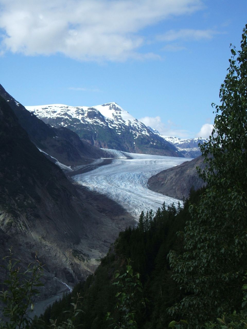
- Go to Stewart and Hyder. You'll regret passing them by, even though they're off the route. You'll want to see the glaciers and the bears at Fish Creek!