|
|
|
|
|
|
 |
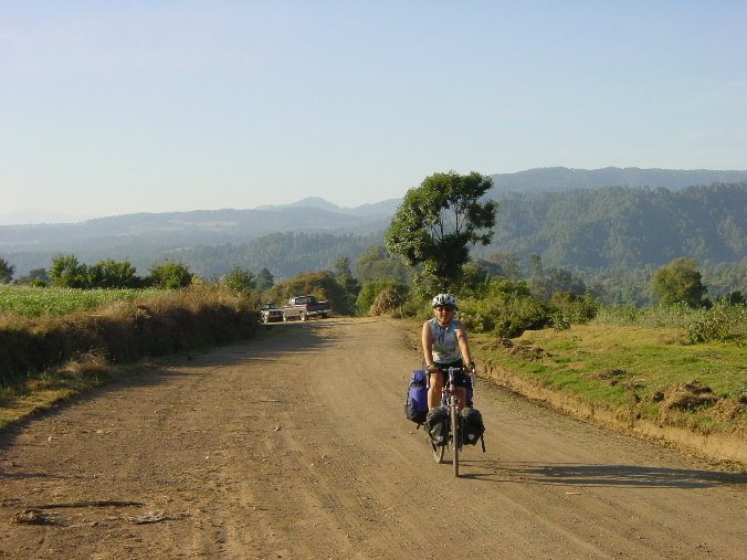
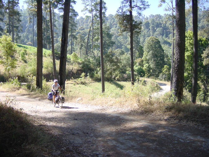
These are the amazing sounds we awakened to on the night we spent in San Juan, far from the nearest paved road.
DSC02379
|
|
|
|
|
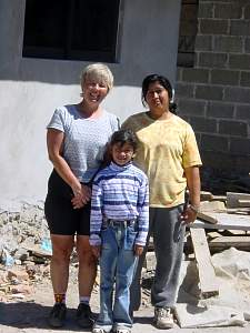 |
After we finally reached civilization and paved roads again, we headed down toward Chiltepec and Coatepec. As we went along Irma, walking along the road, struck up a conversation with us, took us to her house for lunch, and delighted us with her company and her explanation of the area.
DSC02399 Nancy with Irma and daughter
|
|
 |
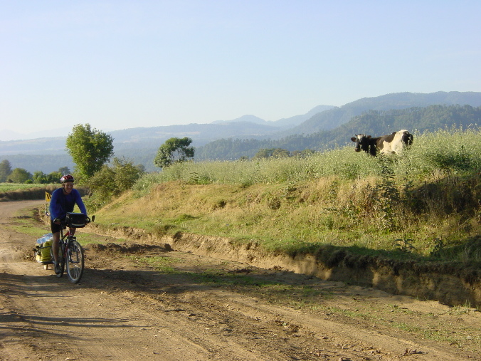
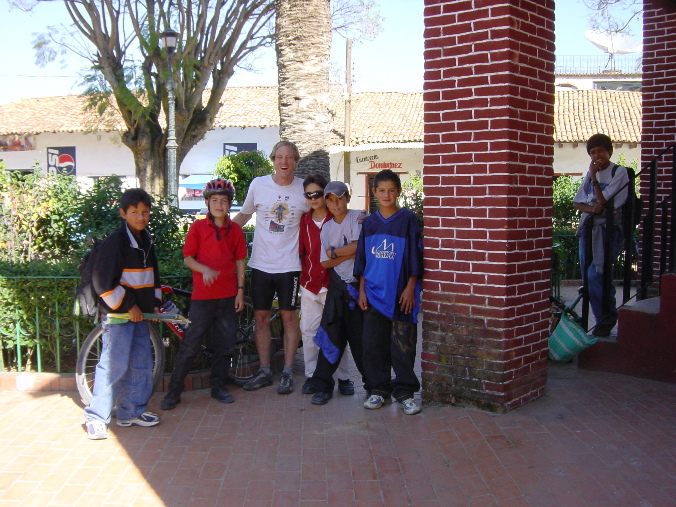
In some villages it was hard to stop for a siesta in the central plaza, because too many people would gather around. We stopped in Chiltepec for a bit, but got lots of helpers. These kids were amazed to see their little town on my map.
DSC02401 Helpers in Chiltepec plaza
|
|
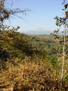 |
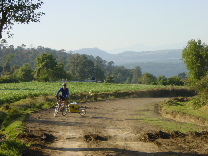
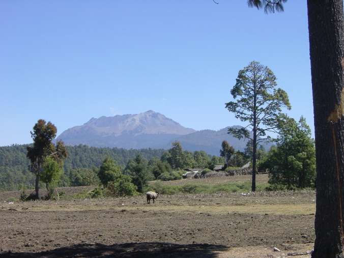
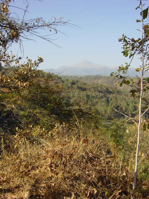
The whole day we rode in the shadow of the great volcano Nevado de Toluca. We had some amazing views, but didn't get the right pictures.
DSC02402
|
|
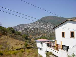 |
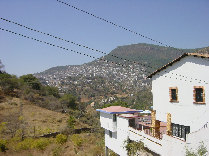
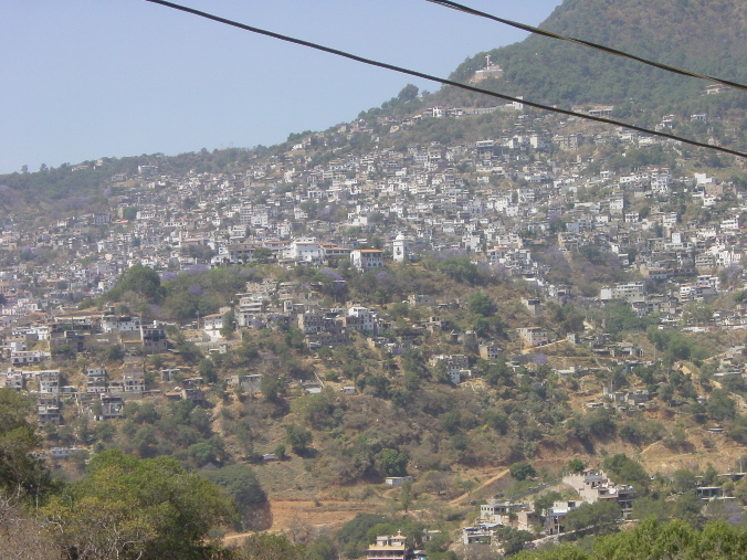
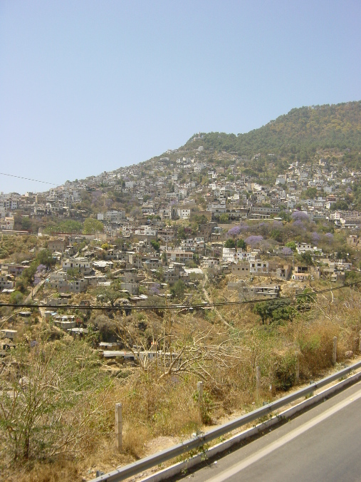
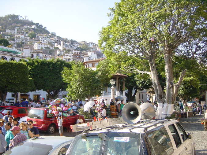
From Coetepec and Ixtapa de la Sal, we headed south to the silver city of Taxco, built on an amazing hill, with the most amazing traffic. This is our first view.
DSC02408
|
|
|
|
|
|
|
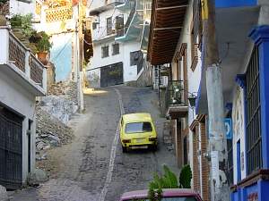 |
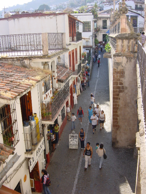
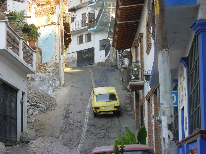
Taxco traffic was completely demented, with narrow streets (and cars blocking them) and completely impassable grades. Nancy delighted in watching from our hotel room as two or more taxis would go up this street, get jumbled together, then meet one coming down. Or perhaps one of the upward bound ones would lose traction or engine power and half to back down, forcing the others out of the way.
DSC02429
|
|
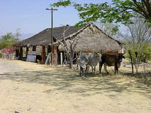 |
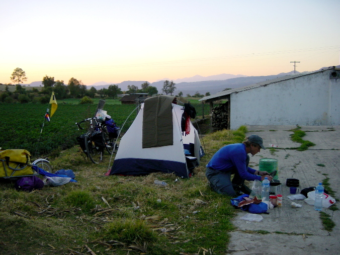
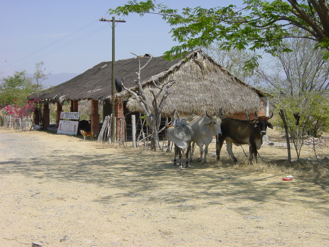
Here's a shelter where we spent a pleasant mid-day siesta south of Iguala. You'll see our friends the dog who lives there, and the oxen who were just hanging around with us. It was an abandoned store of some type, but all these animals somehow make a living here.
DSC02433 Siesta stop south of Iguala
|
|
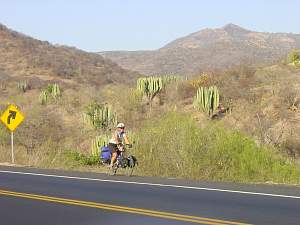 |
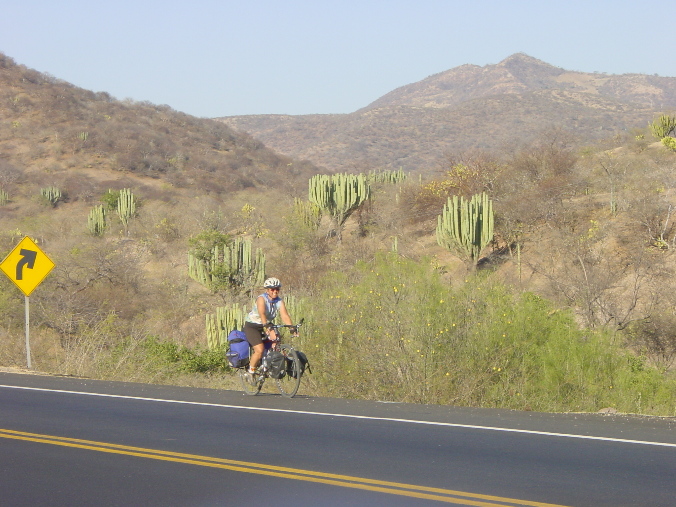
South of Iguala, we definitely were riding in the desert. And it was a hard day's ride. Although it was the longest day of the trip (58 miles) and a good bit was serious downhill, by the afternoon we were riding 15 minutes and then resting 30 out of the sun somewhere.
DSC02434 Nancy riding in desert terrain south of Iguala best
|
|